Ecological Assessment
The GSP Approach to Using Ecological Assessments
GSP uses ecological data from several assessment efforts to plan work, adjust restoration best management practices, and to develop long-term perspective and restoration strategies specific to Seattle’s urban environment.
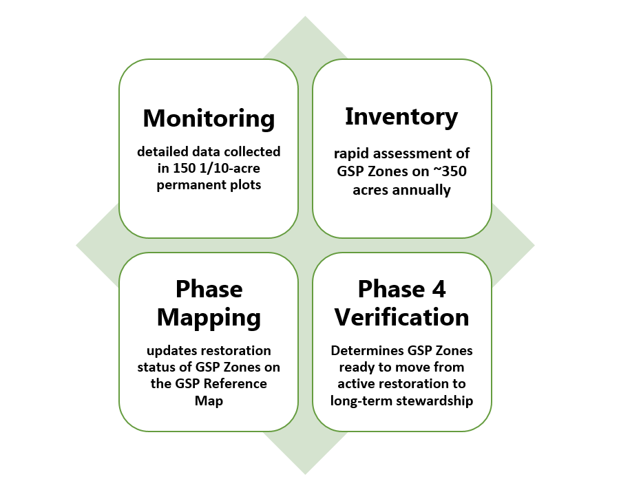
Monitoring
Led by EarthCorps since 2010, the Forest Monitoring Program provides a long-term look at how GSP is influencing forest health. Monitoring includes detailed measurements of vegetation in tenth-acre plots that are visited before and after restoration, and on a five-year cycle thereafter. The Monitoring Protocols are a collection of procedures that can be replicated, which allows for a comparison of the forest condition over time. Monitoring results for each permanent plot are visible on the GSP Reference Map. For more information, please check out the GSP Forest Monitoring Program Reference Guide
Inventory
While Monitoring provides detailed information on how restoration areas are changing over time, the Inventory provides a rapid assessment of current conditions in GSP zones. The Inventory Protocols include collecting data on the composition of plants, the number of regenerating trees, and the density of overstory trees. On average, 350 acres are inventoried annually. Zones are prioritized for inventory based on restoration activities reported in CEDAR and when zone information is outdated or missing.
Phase Mapping
To understand restoration progress and plan future work, areas that have seen restoration activities in the previous year are mapped. The restoration phase information is then updated annually on the GSP Reference Map. Zones for phase mapping are determined annually by the GSP Plant Ecologists based on CEDAR work log data. This work often happens concurrently with Inventory data collection. The process is described in the Inventory Protocols, linked above.
Phase 4 Verification
To determine when a GSP Zone is done with active restoration and ready to move to a longer cycle of stewardship and maintenance, Seattle Parks and Recreation Plant Ecologists carry out Phase 4 Verification each summer. To come up with candidate zones, the Plant Ecologists compare Inventory data for each zone to specific characteristics of healthy forests found in our restoration references, called Target Ecosystems. If a GSP Zone matches enough desired attributes, it gets on the list to be visited for Phase 4 Verification. Field data collection includes a rapid assessment of forest health metrics and allows for the Plant Ecologists to prescribe additional work where necessary.
Site-Specific Research
Often times, ecological assessment efforts support site-specific questions. This work is captured on the GSP Research webpage.
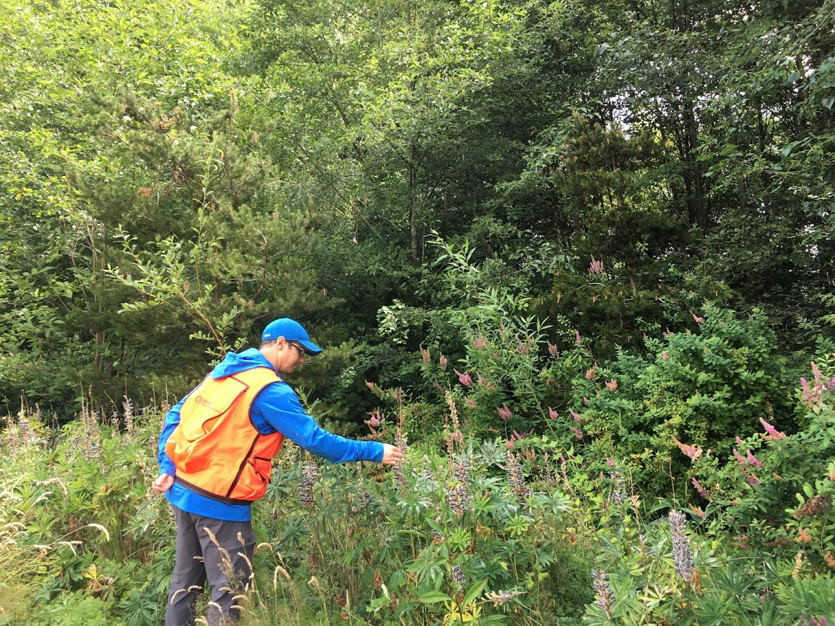
Plant Ecologist Eric Sterner checking out Lupine at Pritchard Beach
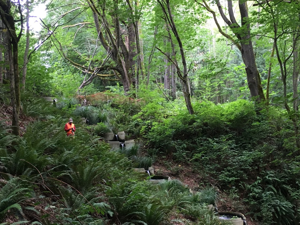
Plant Ecologist Michael Yadrick reviewing forest health conditions at Wolf Tree Wetlands in Discovery Park
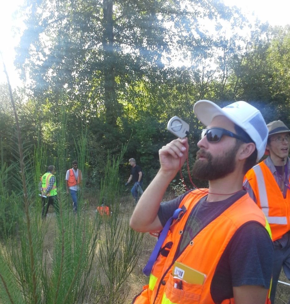
Jesse Alton with Puget Sound GIS demonstrating how to use a clinometer at Pigeon Point as part of Inventory Training
